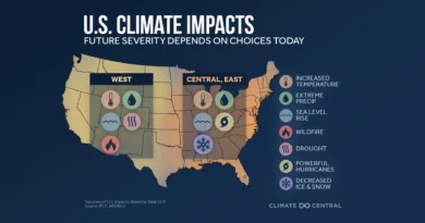
Study Separates Climate, Urbanization, and Landscape Impacts on City Heat Waves
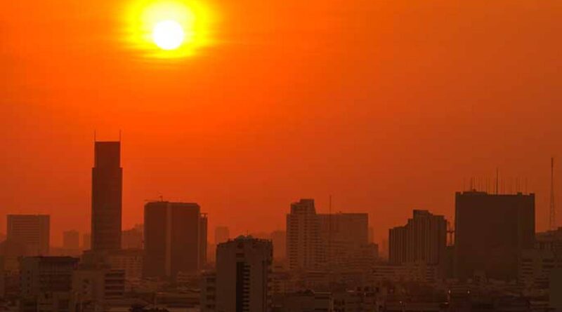
A high-resolution global dataset has been developed to assess heat-wave exposure attributable to the urban heat island effect in cities worldwide from 2003 to 2020. With ongoing global warming and rapid urbanization increasing both the frequency and severity of extreme heat events, understanding UHI impacts has become critical for effective mitigation and prevention planning.
The dataset was constructed at a 1-kilometer resolution, employing an adaptive urban-rural threshold method to define the spatial extent of UHI impacts. A spatiotemporally fitted MODIS surface temperature dataset was used to address gaps caused by cloud contamination, ensuring comprehensive coverage.
Importantly, the dataset distinguishes the contributions of background climate, local landscape characteristics, and urbanization to urban heat wave exposure. This separation provides a scientific basis for identifying priority areas for UHI mitigation and for developing early warning models that account for urban heat island effects.
The methodology and dataset facilitate integrated decision-making for urban climate adaptation aligned with sustainable development goals. Furthermore, the technical framework can be applied to study UHIs and heat wave exposure in other regions worldwide, supporting global urban resilience planning.
#UrbanHeatIsland #HeatWaves #GlobalWarming #Cities #ClimateAdaptation #MODIS #Urbanization #RiskAssessment #diplomatsWorld #diplomatsworld